Marine Paleoseismology


Fault Identification


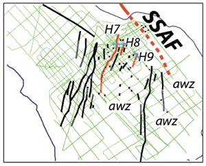
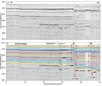
Because many faults are submerged, we rely on geophysical methods to image stratigraphic layers that have been deformed by fault movement and earthquakes. The method can be described as “acoustic trenching” and it allows us to constrain the magnitude, timing and kinematics of individual displacement events.
Because lakes often cover the depocenters of tectonically active basins, they provide high-fidelity sedimentary records that allow us to reconstruct paleoseismic events using seismic reflection imagery. Acoustic horizons are ground-truthed using core samples and sedimentary layers are dated using radiocarbon analysis of organic material.
Primary author domain expert:
Danny Brothers <dbrothers@usgs.gov>
Co-author domain experts
Neal Driscoll <ndriscoll@ucsd.edu>
Graham Kent <gkent@unr.edu>

